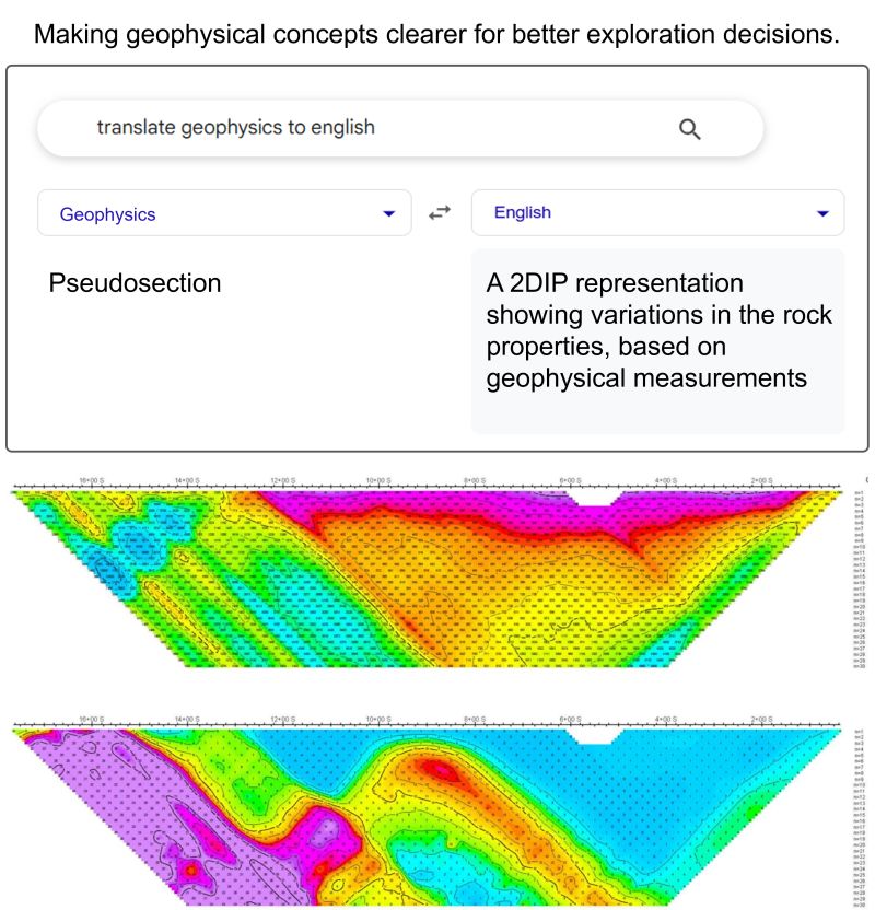
A #pseudosection is a conventional #2DIP representation that shows how a geophysical property appears to vary along a survey line, plotted using electrode spacing (n value) rather than true depth. Generated from surface or borehole data, it helps visualize subsurface patterns in a way similar to a cross-section, but based on measured resistivity and chargeability responses rather than direct observation. It is a practical tool for identifying #anomalies and a convenient way to assess the data in the early stages of interpretation.
Get more geophysical insight here 👉
for humorous purposes only, not affiliated with Google
Get more geophysical insight here 👉
for humorous purposes only, not affiliated with Google
Shared byDevon Tan - 13 days ago
Log in to comment
Loading ..
Related Articles
Abitibi Geophysics at the 8th International Induced Polarization Workshop

Pam Coles, Nicola Young, and Team to Discuss Induced Polarization at S-IMEW

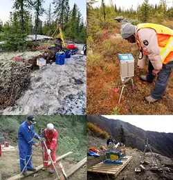
2026 Geophysics Deployments: Quebec, Ontario, Saskatchewan & Newfoundland
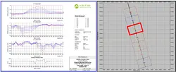
Borehole Gravity Measurement: Deep Insights from Abitibi Geophysics
Refining Uranium Targets with ARMIT-Based TDEM in Stallion's Coyote Project
16
0/100